|
Maps of Pickett's Mill Map Legend The Battle Then and Now Order of Battle Wargaming Pickett's Mill Conclusions Bibliography |
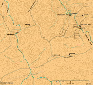
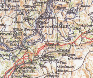
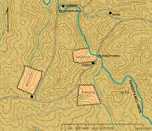
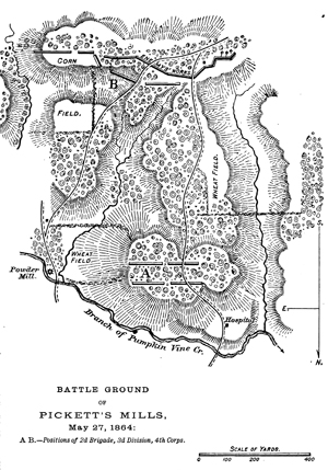
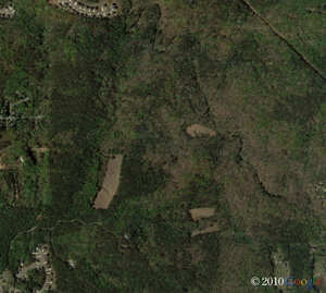
Maps of Pickett's Mill
|
|||||||||||
All images, text, and video © Historic Imagination Optimized for viewing at 1024 x 768 or better |
||||||||||||